New pathway helps protect fragile moorland
Airlifting operations are about to resume to transport reclaimed flagstones onto site to create a new pathway to protect exposed peat on a popular Peak District footpath.
Moors for the Future Partnership is working with Natural England, the National Trust and landowners to create a pathway stretching 2770 metres in length, which will significantly reduce erosion and limit further damage to this fragile habitat.
Work on site began earlier this year, with just over half completed, before a break for the bird breeding season.
The path, which goes from Rushup Edge to the Brown Knoll trig point, will see further flag laying work resume in August with the pathway expected to be completed mid to late September.
New community science survey to be launched
The Community Science Team at Moors for the Future Partnership is about to launch their latest survey recording how the moorland environment and its wildlife are changing over time.
The new survey will focus on buds, berries and leaves and will join existing surveys on various birds, butterflies, bees, moss and mountain hares that are carried out by citizen scientists.
Sharing knowledge
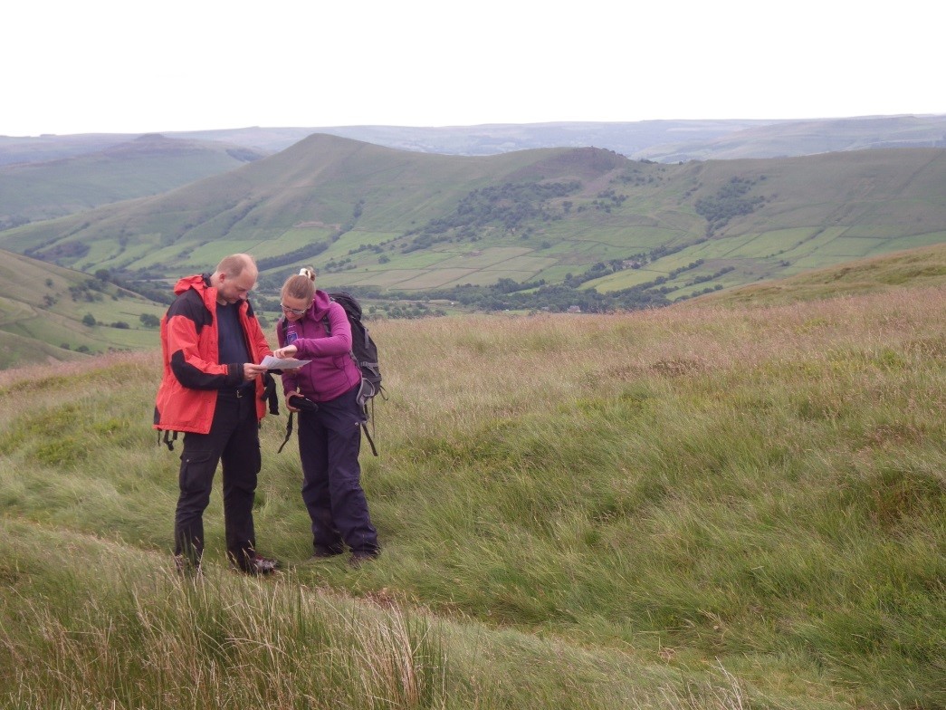
A member of the team delivering the LIFE Mires project in Estonia visited the UK recently to meet with the Moors for the Future Team.
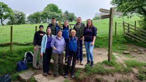
Marko Kohv visited Edale and met with Tia Crouch, Senior Research and Monitoring Officer (see photo on right) and Conservation Works Officer Steve Maynard.
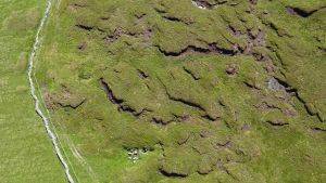
Like MoorLIFE 2020, the LIFE Mires project plans to use UAV-based photos for vegetation change detection.
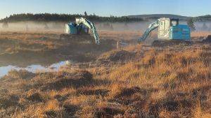
During the site visit he was also shown various aspects of our work including footpath and bare peat restoration, gully blocking, plug planting and some of the monitoring carried out by the team.
Conference
Tia Crouch from the Moors for the Future Partnership was among the delegates at a conference at the University of Worcester for those with an interest in working with small unmanned aerial systems (UAVs) for environmental monitoring and research.
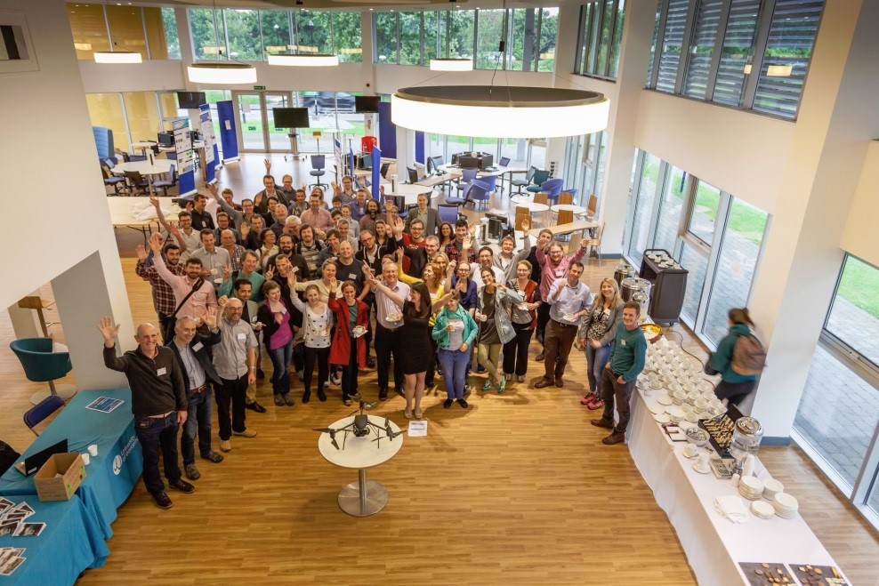
This two-day workshop was organised by the University of Worcester (UK) as part of the Remote Sensing and Photogrammetry Society’s UAVs Special Interest Group.
The programme covered included technical developments, conservation and vegetation, geosciences, glacial and alpine geomorphology, coasts, rivers and wetlands.


