The RSPB’s Abernethy Reserve is perhaps better known for its Caledonian pinewoods, ospreys and capercaillie.
If you go out beyond the forest edge, the nature reserve encompasses some of Cairngorms National Park’s most dramatic upland landscapes: Loch Avon, Bynack More and Scotland’s second highest mountain, Ben Macdui. Much of this upland is blanket bog, with substantial areas of degraded peatland, a legacy of historic grazing and burning management.
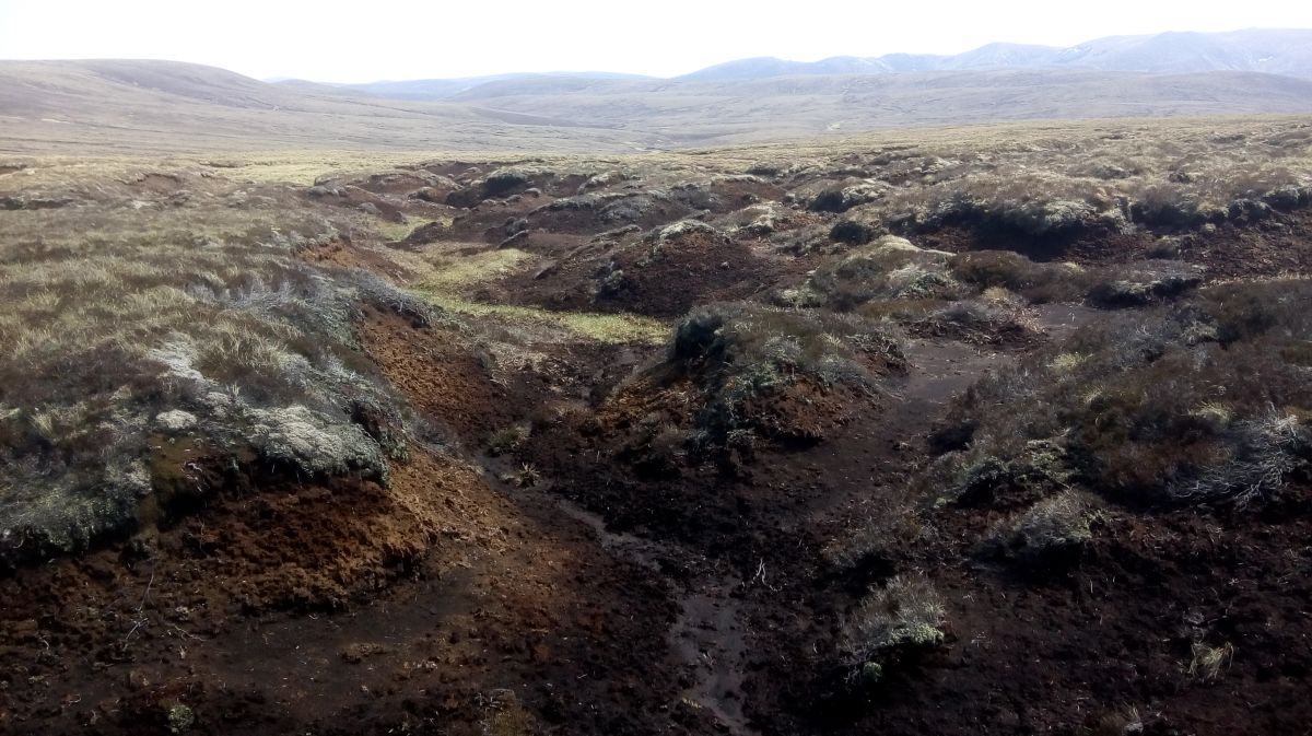
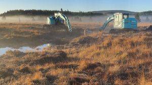
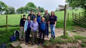
Stephen Corcoran, the Cairngorms Peatland Action Project Officer was out recently with RSPB staff and a drone mapping the degraded peatlands to the east of the reserve on An Lurg and Bile Buidhe. This remote and seldom visited area contains large areas of bare peat, erosion gullies and peat hags. The group discussed starting the restoration of this area with funding from Peatland Action, and the practicalities of the site while the drone flew a number of areas mapping the site. One of the key issues is access, as there are no tracks that take you up the steep ground to the site. One possible solution discussed, to avoid damaging the fragile vegetation, was flying in a remote accommodation system.
